
The budget is fast approaching and with it the inescapable conclusion that the UK just doesn’t have that much money. It’s not a new or original observation but the estimate that conflict in the Middle East has halved the chancellor’s fiscal headroom has only made it more acute.
Now, as is often the case, the government is keen to announce policies that don’t actually require any money. The prime minister announced one such policy in his conference speech - allowing councils to build new council houses on unused public land.
Instinctively it seems like a good policy. We don’t like the idea of councils wasting land, and if you want to increase council housing stock specifically, it does cut down on the expensive bit of buying people out of properties or land that currently has to happen. It’s also hard for critics to instantly decry because unlike empty homes, there aren’t readily available figures for how many homes this could actually result in.
So let’s try to figure it out.
Firstly, we need to know exactly how much land councils currently have. Councils are major landowners in the UK, owning 526,000 hectares of land in England alone. However, most of this land is firmly in use. Council housing, schools, offices, highways, allotments and parkland all take up space.
The main way to figure out what any given council actually owns and therefore what could conceivably count as unused public land is through council asset registers. Since 2015, councils are all supposed to publish this asset register, though the level of detail varies wildly, making national comparisons tricky. So let’s take one council in particular as a case study to figure out how much unused public land there actually is.
Manchester city council seems like as good a council as any to check. Not only because it is the home of our new Prime Minister but also because the city council hasn’t been through many significant boundary changes and so we can compare the asset register over time.
Going through the City Council’s asset register and matching it to land registry boundaries we can see that Manchester City Council currently owns around 3,900 hectares (ha) of land - or around a third of the city in total. This also does not include council housing - which is all redacted on the register. Cross referencing sites that were apparently unused, with the Land Registry resulted in around 166 sites. Clicking around those sites on Google Street View shows a bunch of sites that look like this.
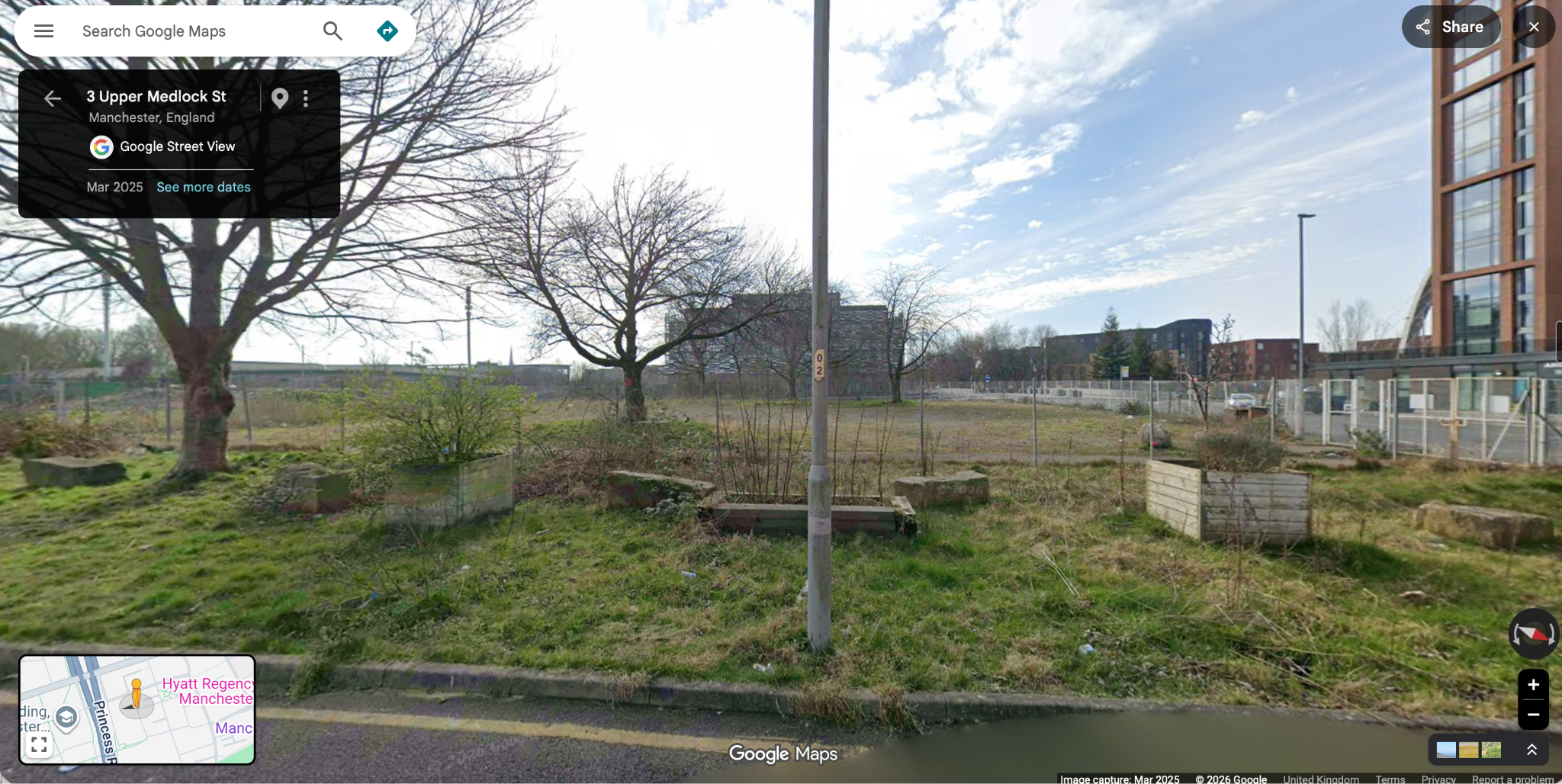
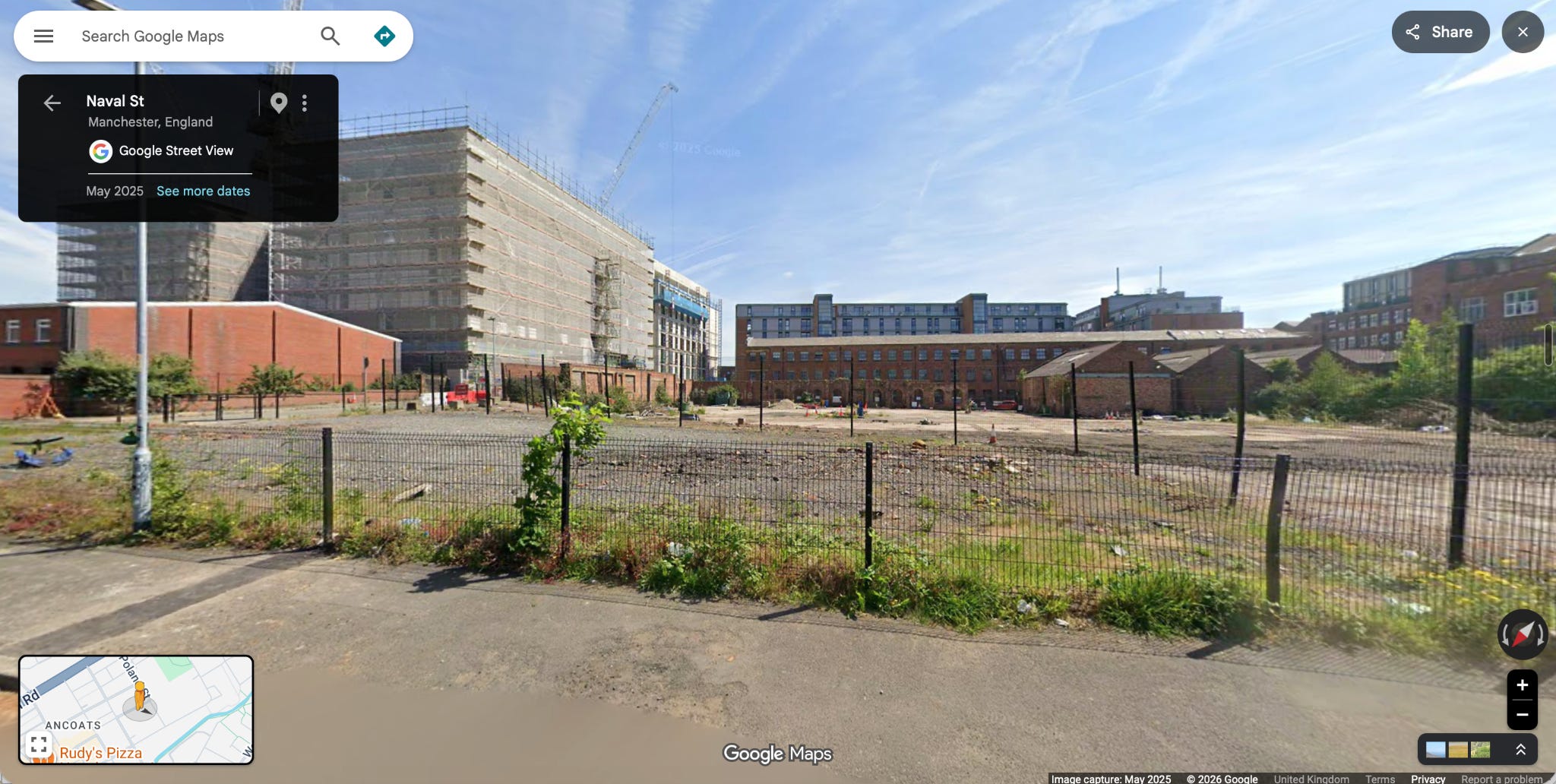
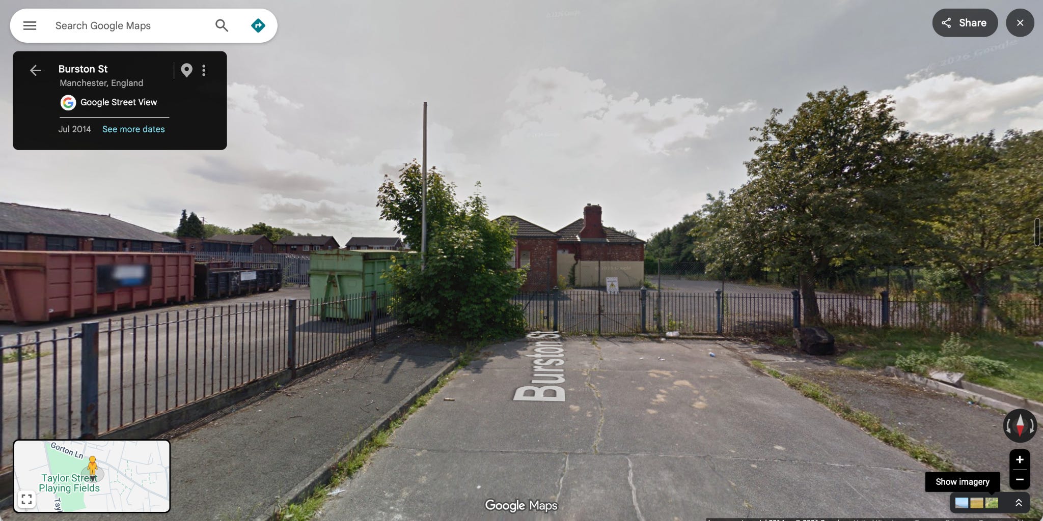
Most people wouldn’t mourn these sites if they turned into new housing.
The problem is, that there’s just not that many of these sites, and none of them are especially large. If you put these 166 sites on a map it looks something like this.
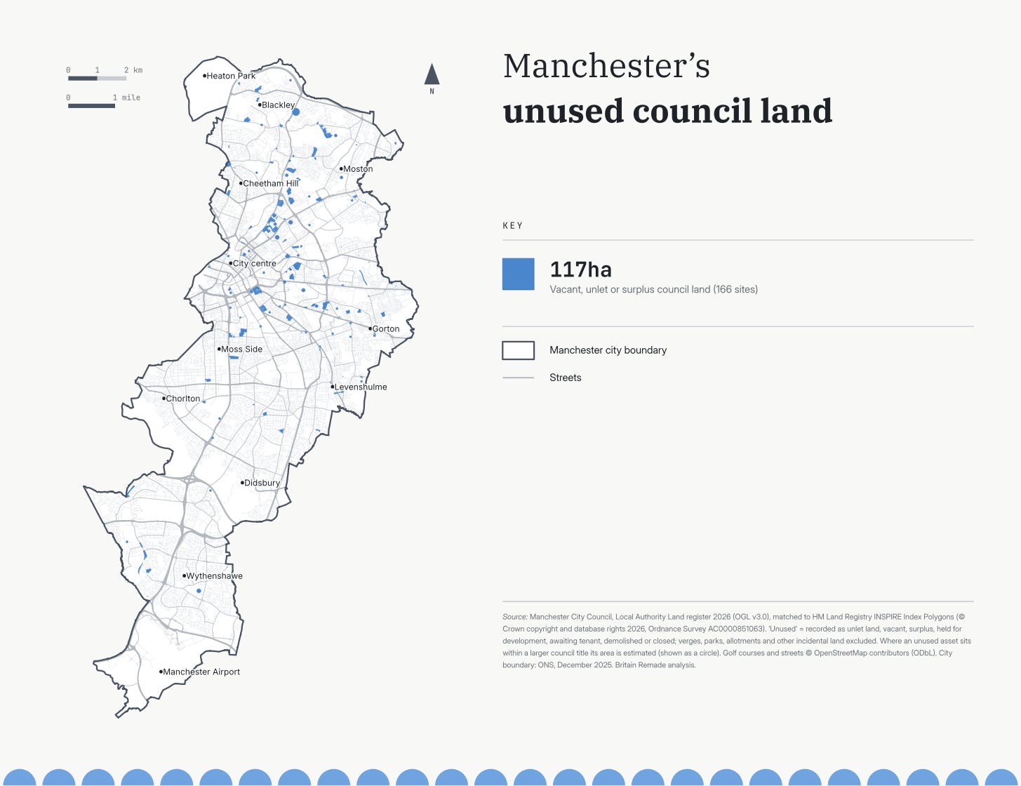
After checking some of the larger sites and downgrading them because the boundaries were obviously parks and only a tiny amount of the site could really be considered unused, the total shaded area is just 117 hectares, just 3.4% of the council land that Manchester city council publicly owns, and likely far less when council housing is included. To put that into perspective, look at the same map but this time with all the unredacted council land currently in use.
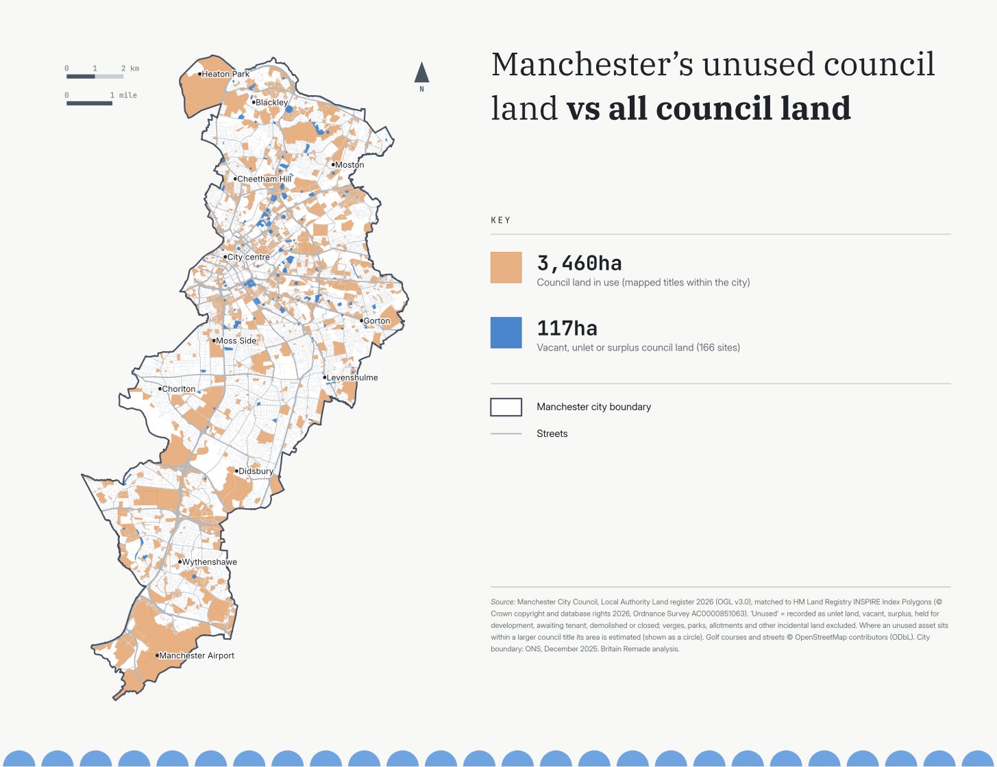
So how many homes could Manchester actually build?
Assuming that any site under 0.25 hectares probably won’t work for development and that only 70% of each of the remaining sites will work for development due to access issues, flooding or contamination and that only 80% of the remaining sites will become housing rather than access roads and open space that leaves us with 63 hectares to actually build on.
Assuming then that the densities of all the inner city sites is 100 homes per hectare (for reference that looks like an obviously urban development, which still has some mid-rise buildings and green space.)
This (above) is from a helpful CPRE report that has pictures of different densities per hectares and that all the suburban areas are more like 45 homes per hectare - similar to Poundbury phase 1 and 2, then you are left with 4,500 new homes, mostly in the inner city. This is a pretty good number - similar to Manchester’s greatest ever year of housebuilding. But this is a one time fix. Councils don’t tend to pick up much unpurposed land year on year and there are over 20,000 households on the Council housing waiting list in Manchester. Building all of those homes could cover just under a quarter of the council housing waiting list.
If Burnham actually wants the biggest council housebuilding programme since the war and a boom in housebuilding more generally then he will need to go beyond the free and easy policy fixes and seriously reform the planning system to enable developers to build more easily on all land, rather than just the scraps.

And there are political barriers to building on council owned land. Hackney councillors voted against a 22 Dwelling development on land they own at Wayman Court E8 1DN turning the car park into eight private homes and 14 social housing units. Essentially the councillors objected to having to allow the private housing as part of the development despite the proceeds being used to finance the social housing units. The clue comes from the objector escorted from the committee meeting shouting "£1 million homes, shame on you".
I think Oxford City for example has put an awful lot of effort into building on this sort of land in recent years so really I suspect it depends on the council.
Manchester City I think given their mayor and given his priorities is probably one of the better ones?
Also the more rural councils may well have more of this sort of land than the cities?